The professional spatial capture tool for iOS. Digitize your world with unmatched privacy and precision.
Pro-grade tools.
Native feel.
Everything you need to digitize the physical world, wrapped in a stunning iOS interface.
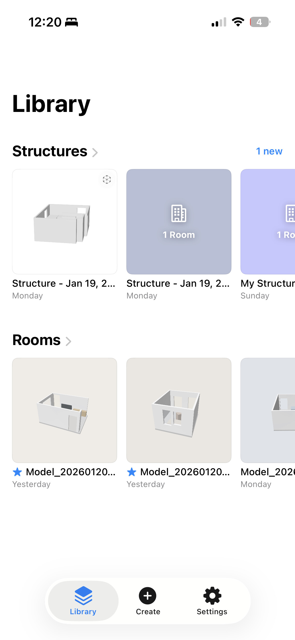
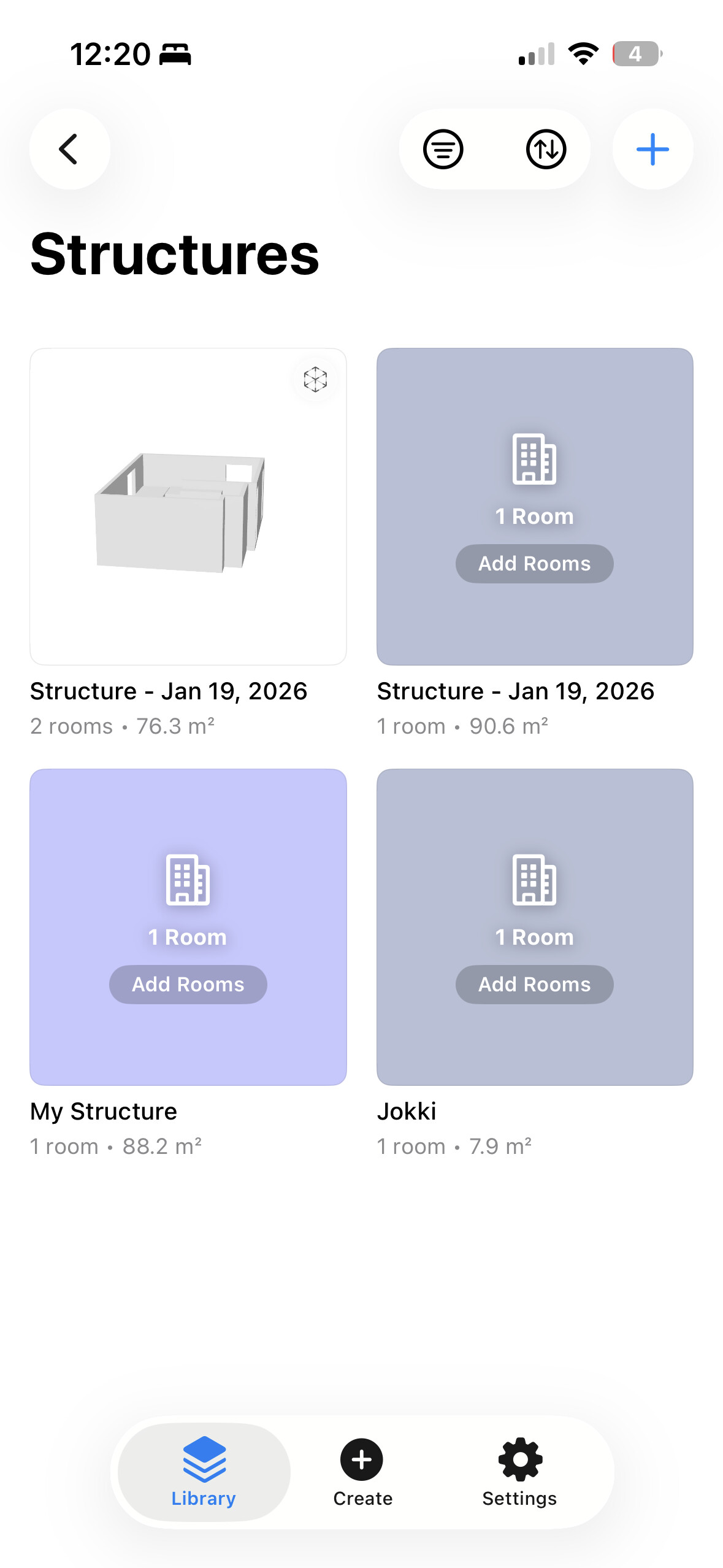
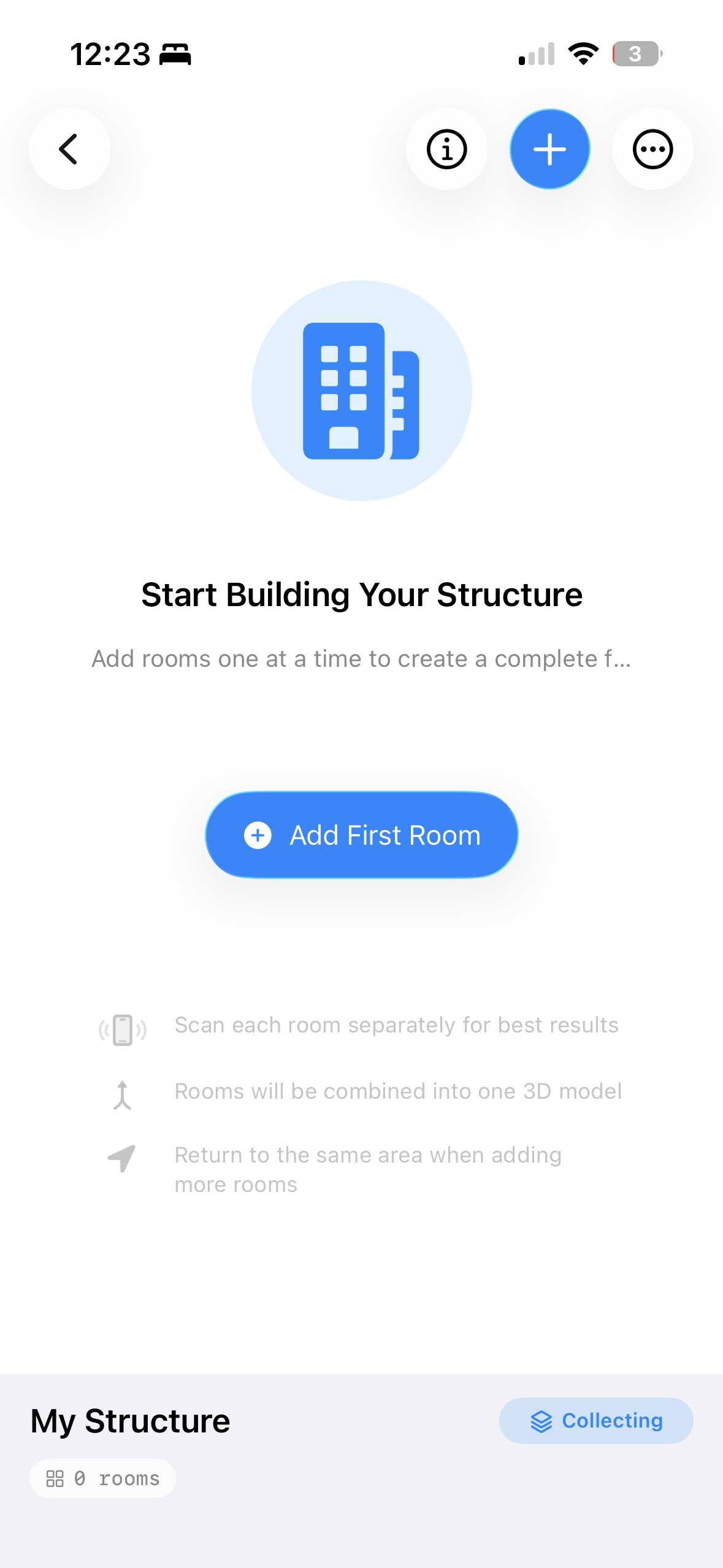
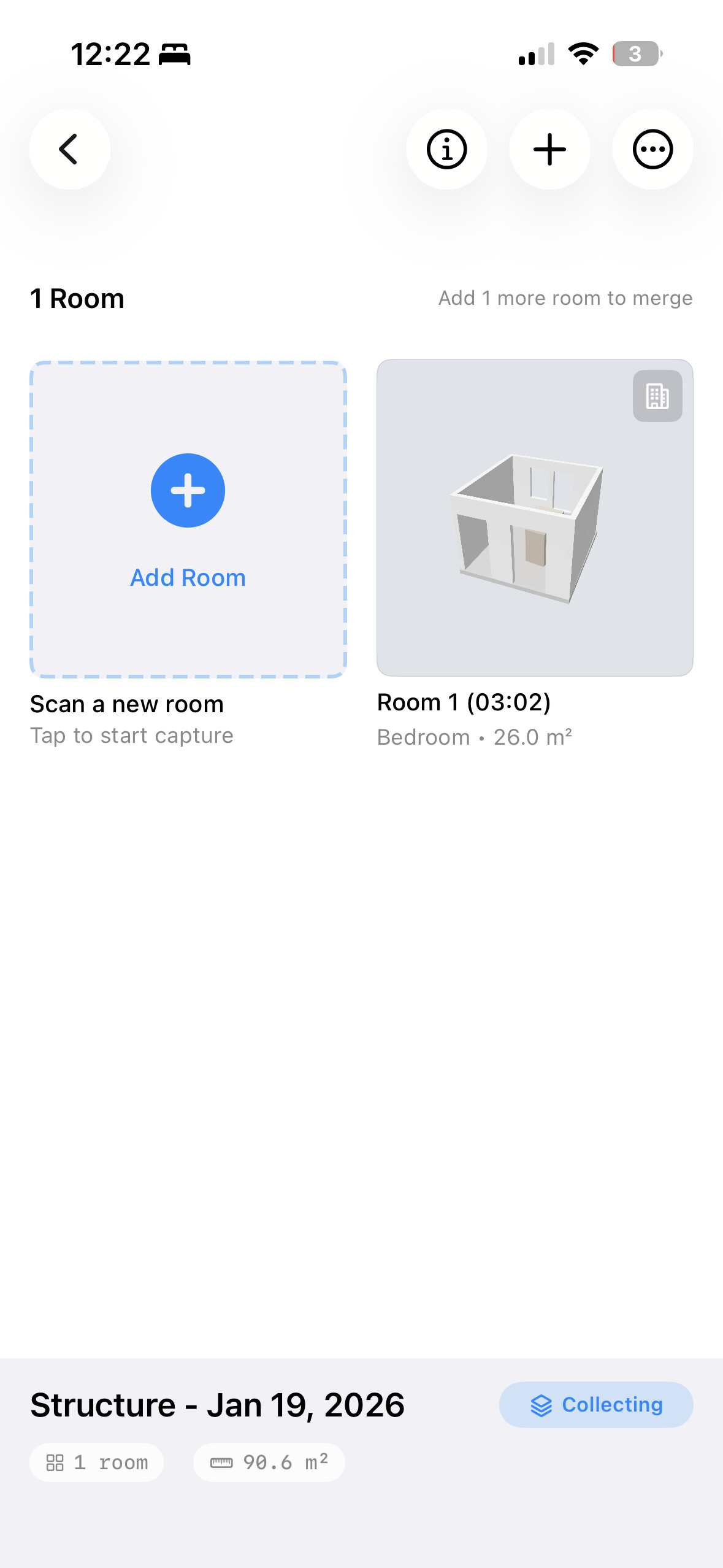
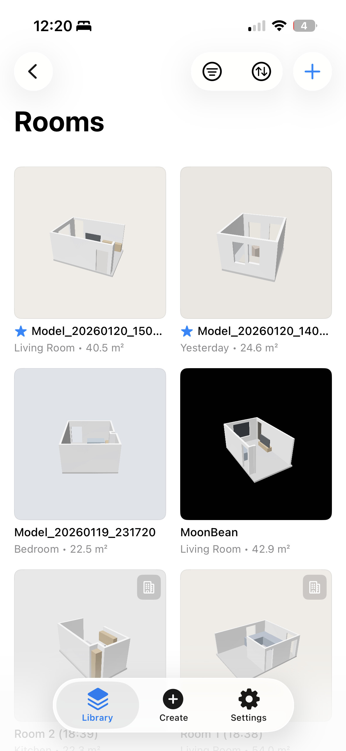
Organize Your World.
A powerful library for all your captures. Browse Rooms, Structures, and everything you’ve digitized. Your entire spatial database, right in your pocket.
Capture & Visualize.
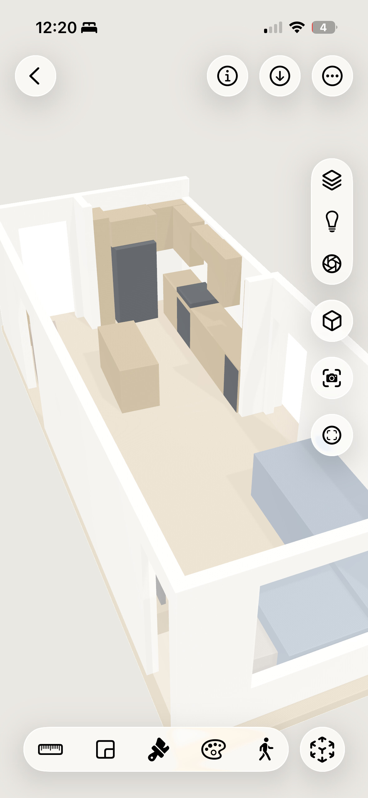
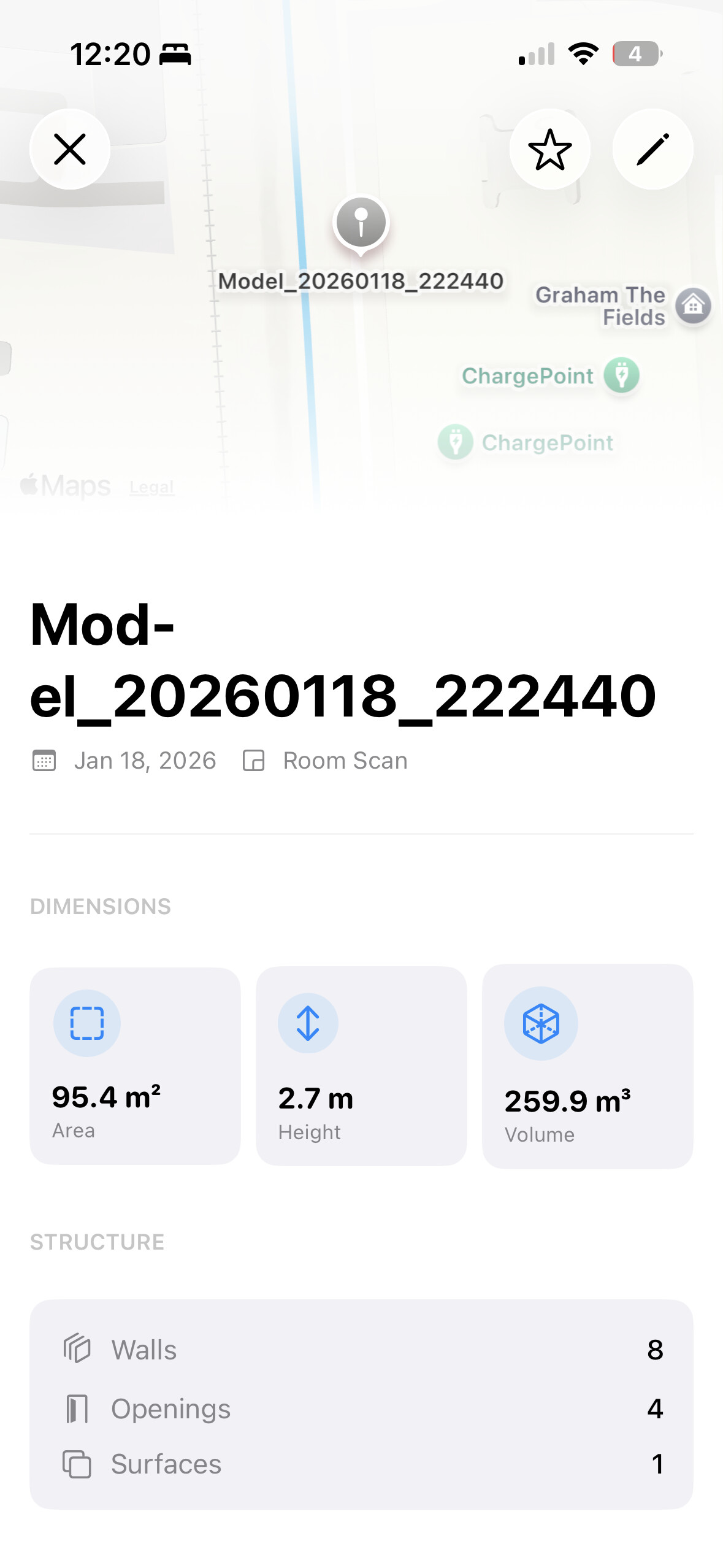
LiDAR capture with real-time feedback. View your rooms in high-fidelity 3D with a renderer built for architectural detail.
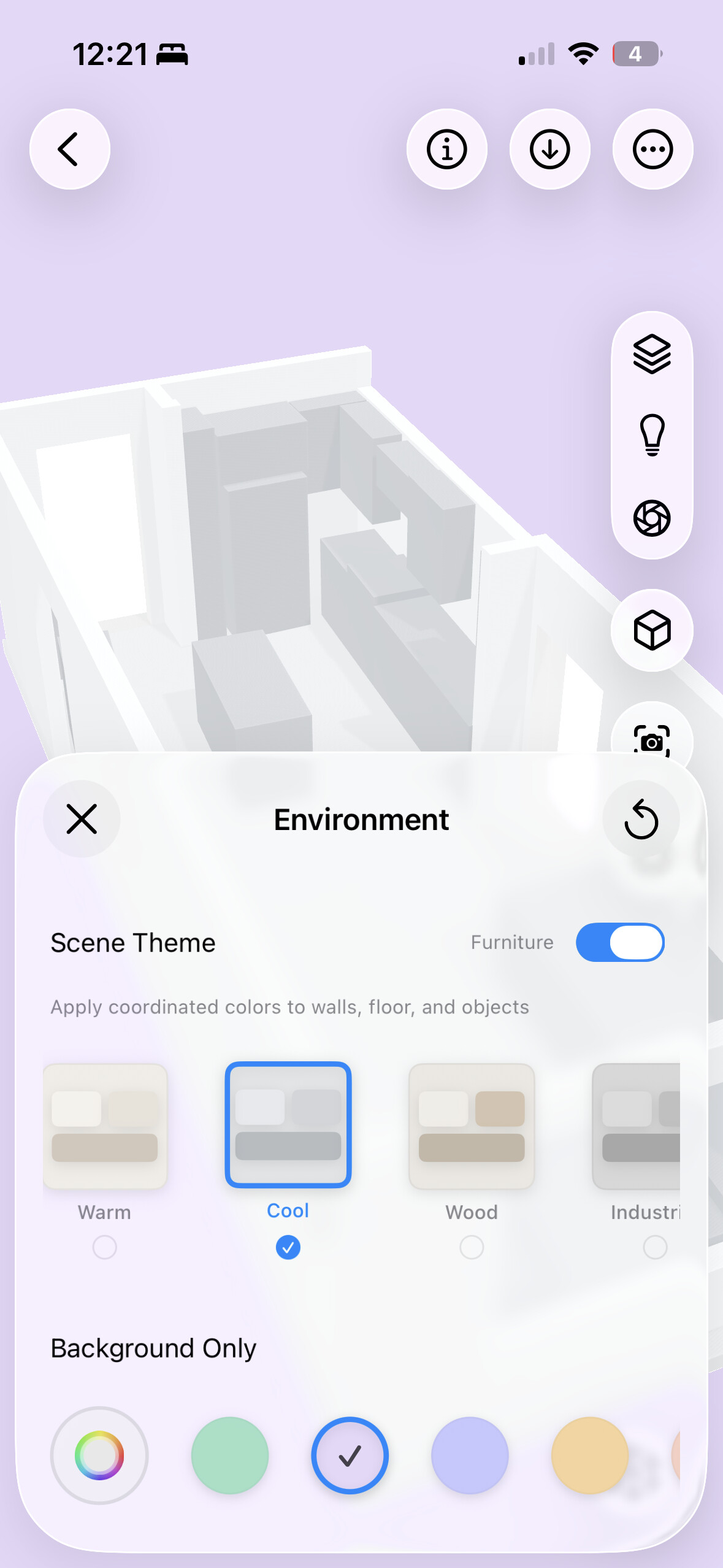
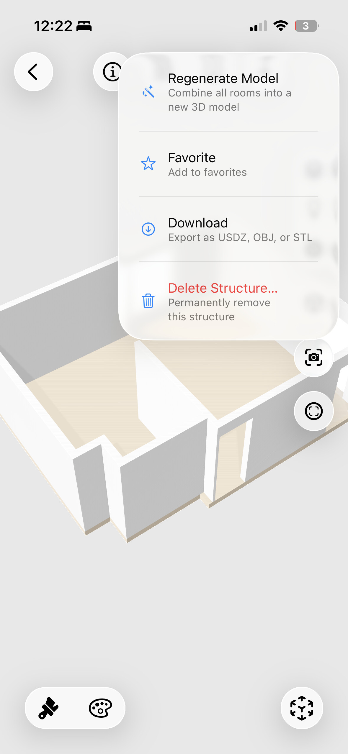
Precision Tools.
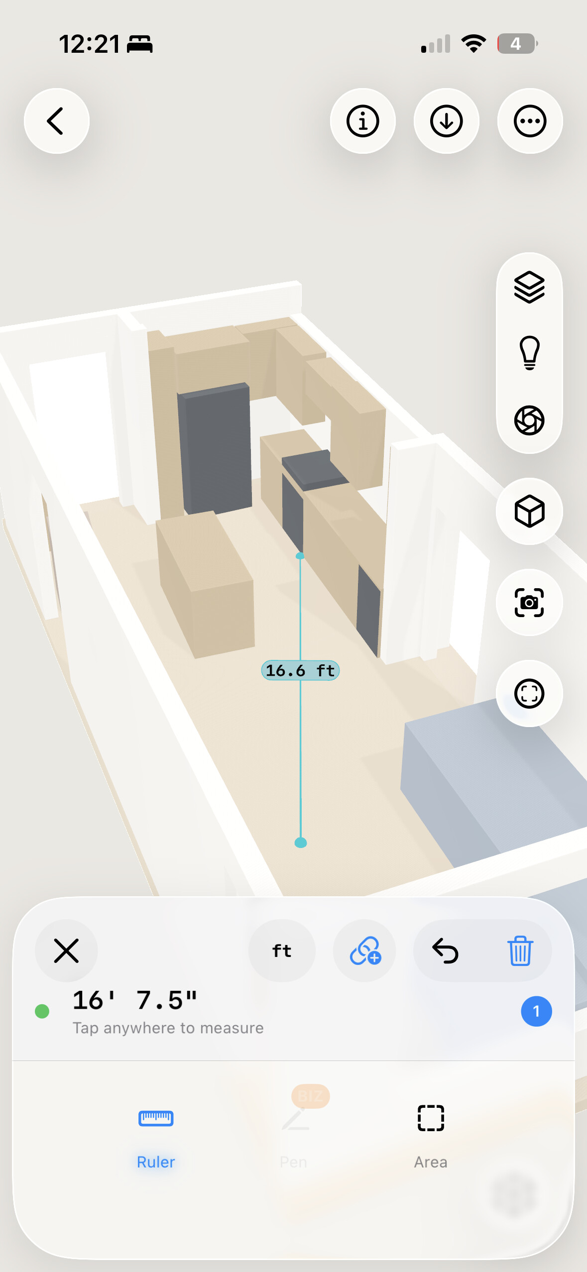
It’s not just a viewer. It’s a workstation. Measure distances with mm-accuracy, adjust environment lighting, and recolor surfaces instantly.
Total Control.
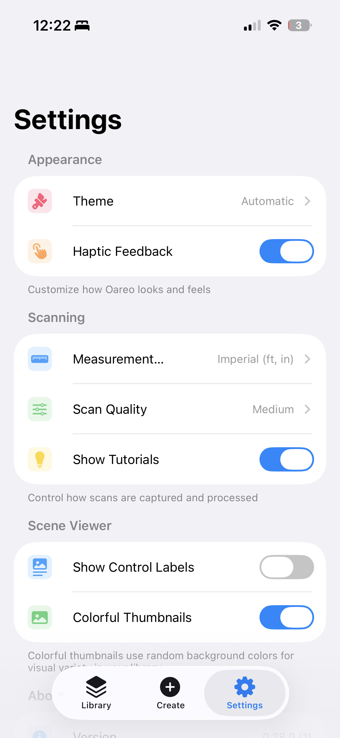
Fine-tune capture quality, viewer settings, and export preferences. Oareo adapts to your professional workflow.
Deep capabilities.
Built for complex workflows.
Auto-generated Floorplans.
Stop measuring with tape. Oareo intelligently slices your 3D data to create crisp, dimensioned 2D floorplans instantly.
- Automatic room labeling
- Total square footage calculation
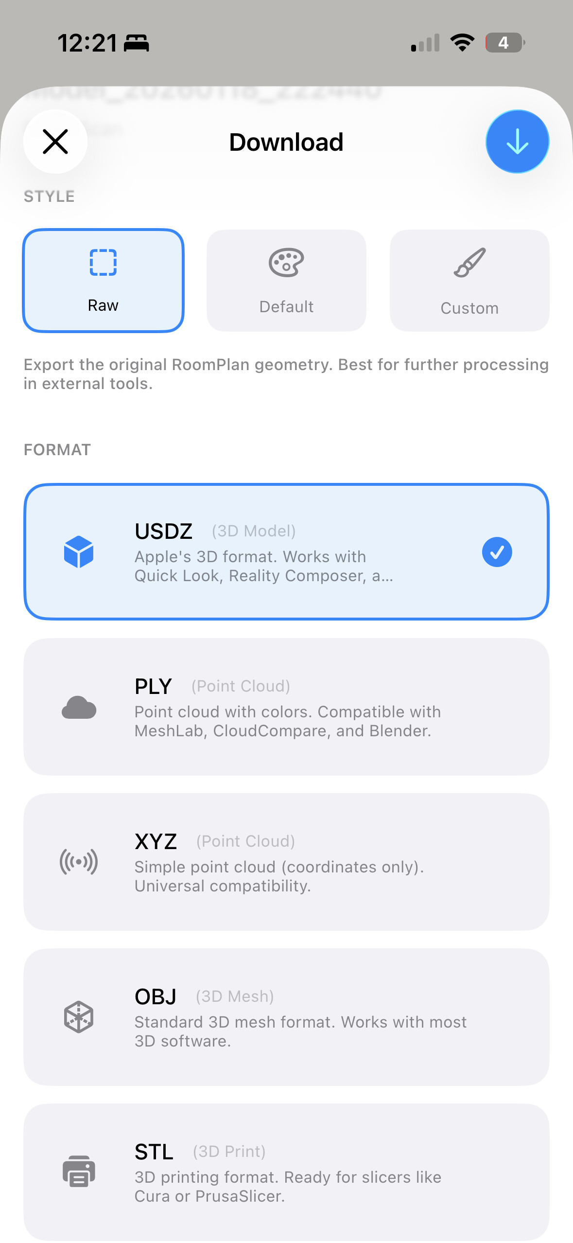
Workflow ready formats.
7 formats. Zero cloud dependency.